
3 key steps to choosing an indoor geolocation system
Share this article
Contents
Share this article
1. Understanding the main families of indoor geolocation technologies
The first step is to take stock of existing solutions. This does not mean becoming an expert in every radio protocol or antenna type, but rather identifying the major technological families that structure the market.
They can be grouped into six main categories:
- GNSS (Global Navigation Satellite System): signals emitted by satellite constellations such as GPS (USA), Galileo (Europe), GLONASS (Russia, Beidou (China).
- Communication networks: It is possible to use communication networks (Wi-Fi, 5G, LoRaWAN...) to calculate a position.
- Optical technologies: use cameras, LiDAR or infra-red sensors to determine position.
- Inertial systems: estimate position by analyzing the movements of a person or object, using the earth's magnetic field.
- Mesh systems: made up of a set of interconnected nodes (sensors, connected objects, etc.) which communicate with each other to establish a position.
- Local radio technologies (UWB, RFID, BLE, etc.): based on the emission of radio signals detected by mobile sensors, which then calculate the position of the system.
Download our guide for a detailed comparison of these technologies.

2. Qualify business needs and formalize operational constraints
A common mistake in indoor geolocation projects is to start with a technological solution before having rigorously defined the target uses. However, in an industrial environment, use cases are heterogeneous and require highly differentiated technical solutions.
Here are some typical examples:
Securing isolated operators: the solution must guarantee real-time location, full site coverage (including sensitive or isolated areas), and uninterrupted reliability.
Automation of intralogistics flows (AGVs, cobots, exoskeletons): priority is given to dynamic precision, low latency and the ability to operate in disturbed environments (metal structures, high density of mobile equipment).
Traceability of mobile equipment and tooling: beacons need to be compact, robust, autonomous over extended periods, and capable of providing usable location data at a fine granularity.
Beyond use cases, several operational dimensions need to be assessed:
Environmental constraints: presence of physical obstacles, floors, uncovered areas or disruptive materials (liquids, metals, industrial dust).
Nature of objects to be located: fixed or mobile elements, carried by people or integrated into rolling equipment, indoor/outdoor use.
Data refresh requirements: frequency of updates, tolerance to delays, criticality of real-time information.
All these parameters must be formalized in a clear functional specification, which will serve as an objective basis for any feasibility analysis and supplier consultation.
Download the Excel version of this grid to qualify your project needs in just a few minutes.

3. Integrate the geolocation solution into your digital and industrial ecosystem
In a modernized industrial environment, an indoor geolocation solution cannot be considered as an isolated functional block. It must be part of a coherent, interoperable and scalable IT/OT architecture, linked to existing systems (ERP, MES, WMS, CMMS, IoT platforms...).
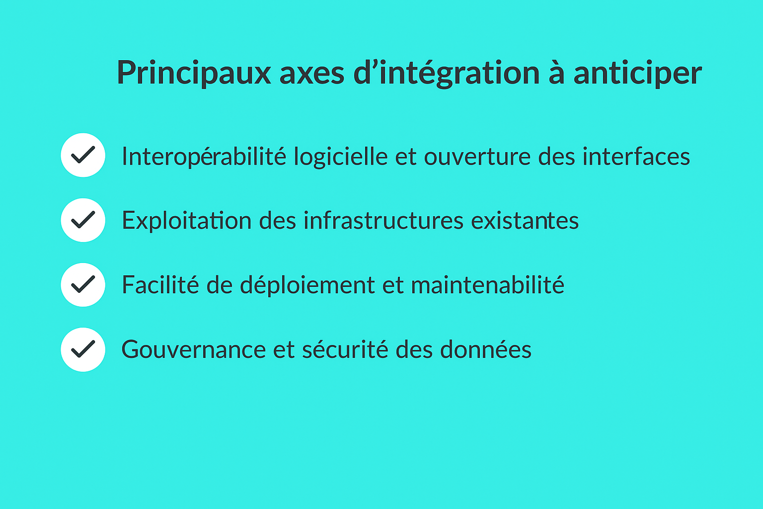
Main areas of integration to anticipate :
Software interoperability and open interfaces: make sure you have standard connectors (REST API, MQTT, OPC UA, etc.) for seamless integration with your business tools. Clear API documentation and standardized exchange protocols are prerequisites for avoiding costly custom developments.
Leveraging existing infrastructures: some solutions can take advantage of networks already deployed (Wi-Fi, LoRaWAN, private 5G, etc.), reducing infrastructure costs and implementation times.
Ease of deployment and maintainability: system portability across multiple sites, compatibility with your IT standards, remote supervision capability, predictable maintenance cycles... These are the criteria that determine the project's long-term operational viability.
Data governance and security: it's imperative to assess how location data is collected, processed and hosted. Encryption, RGPD compliance, on-premise storage or sovereign cloud must be arbitrated according to your cybersecurity and digital sovereignty requirements.
To find out more :
A prior technical audit is strongly recommended. It helps identify the anchor points in your existing architecture, assess any technical obstacles, and quantify the real costs of integration (hardware, software, interfacing, training, support).
This article may also be of interest to you
5 trends shaping industrial asset tracking in 2026
Sources and useful links
- https://www.wheere.com/telecharger-guide-comment-choisir-son-systeme-de-geolocalisation-indoor-en-2025/
- https://www.voxlog.fr/actualite/6307/automatisation-assurer-une-fluidite-parfaite-de-tous-les-processus-cles-en-intralogistique
- https://www.gridpak.com/les-avancees-fascinantes-de-la-technologie-de-geolocalisation-indoor/
Did you like it?
Share it and discover other articles you might also like!
- Articles
- News
- Articles